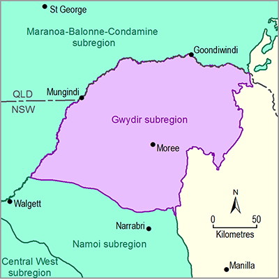
The subregion contains approximately 1600 km2 of seasonal, semi-permanent and permanent wetlands and lagoons, some of which are internationally recognised under the Ramsar List of Wetlands of International Importance. The majority of these wetland systems included in the area are collectively referred to as the Gwydir Wetlands, formed from an inland delta of several rivers to the west of the township of Moree. These wetlands are highly modified by agricultural development and water management, and an allocation of environmental water flows is currently in place to help maintain and restore wetland water requirements. The Gwydir Wetlands are recognised as a refuge for waterbirds in dry times and have been known to support some of the largest waterbird breeding colonies recorded in Australia. Several of these bird species are listed as threatened under NSW and Commonwealth legislation as well as international migratory bird agreements. The wetlands also provide habitat for many types of frogs, fish and insects that, in turn, are food for the nesting waterbirds. The aquatic ecological community of the Gwydir Wetlands, which is part of the natural drainage system of the lowland catchment of the Darling River, is listed under the New South Wales Fisheries Management Act 1994 as an endangered ecological community, and includes five threatened fish species.

